Step 1
Read the file.
The browser parses EXIF data with exifr and converts HEIC photos when it can. Photos with GPS skip the AI entirely.
Exploration · Visual AI
Where was this photo taken?
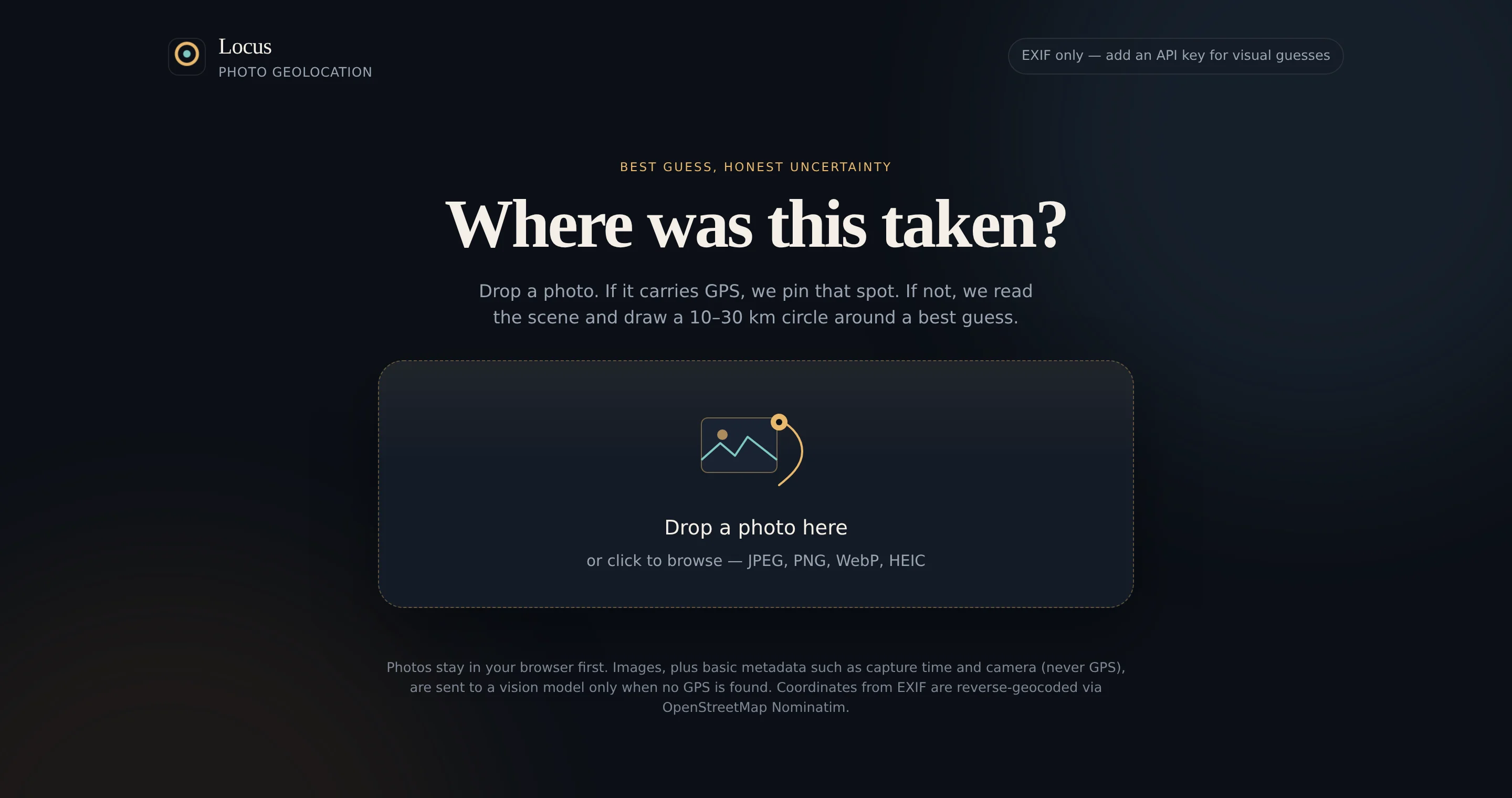
Drop in a photo and Locus gives a best-guess location on an interactive map. It uses the photo's own GPS data when it can, and when it can't, it says so with an honest uncertainty circle instead of a falsely precise pin.
Metadata first, visual clues second, and a map that shows how sure the answer is.
Step 1
The browser parses EXIF data with exifr and converts HEIC photos when it can. Photos with GPS skip the AI entirely.
Step 2
GPS coordinates are reverse-geocoded with OpenStreetMap. Without GPS, a compressed image goes to a vision model that reads architecture, vegetation, signs, vehicles and terrain.
Step 3
The result appears on a Leaflet satellite map with a short rationale. Photos with GPS get a tight 1.7 km circle. For visual guesses, the circle grows from 10 km to 30 km as the model's confidence drops.
GPS coordinates are never sent to a vision model, and API keys stay on the server. Only non-GPS hints like capture time, camera and location tags go along with the image.
The server can call OpenAI, Anthropic or Gemini, whichever key is configured. A free Gemini key is enough for personal use.
Models are asked for coordinates first, so a cut-off answer still keeps the location. Missing coordinates trigger one retry, and quota limits show a plain message.
Unit tests cover the radius math, metadata parsing, JSON recovery from partial replies and each provider's requests.